


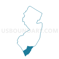
Lower township ward 1 voting district 6, Cape May County, New Jersey
About
Outline

Summary
| Unique Area Identifier | 617899 |
| Name | Lower township ward 1 voting district 6 |
| County | Cape May County |
| State | New Jersey |
| Area (square miles) | 0.47 |
| Land Area (square miles) | 0.47 |
| Water Area (square miles) | 0.00 |
| % of Land Area | 99.45 |
| % of Water Area | 0.55 |
| Latitude of the Internal Point | 39.01366150 |
| Longtitude of the Internal Point | -74.93085610 |
Maps


Graphs
Select a template below for downloading or customizing gragh for Lower township ward 1 voting district 6, Cape May County, New Jersey


Neighbors
Neighoring Voting District (by Name) Neighboring Voting District on the Map
- Lower township ward 1 voting district 3, Cape May County, NJ
- Lower township ward 1 voting district 4, Cape May County, NJ
- Lower township ward 1 voting district 5, Cape May County, NJ
- Lower township ward 1 voting district 7, Cape May County, NJ